Press Kit
Cars & Coast (carsandcoast.com) is a free, live map of the Monterey Peninsula, Santa Cruz and the Big Sur coast, built independently on the Peninsula. Everything below is free to use with credit to carsandcoast.com. Questions / interviews: hello@carsandcoast.com.
Four stories you can write from this page
Monterey County's 12-month parking ban around Bixby Creek Bridge (≈900 ft north to 700 ft south) was approved in June 2026 and runs to about August 2027. Our enforcement map draws the exact zone, points visitors to the legal Hurricane Point pullout, and flags the Rocky Creek one-way signal (Caltrans: through about June 2028). See the map →
Where license-plate readers run around Monterey Bay — Salinas (about 105), Monterey (37), Seaside (30), Pacific Grove, Sand City — each labeled with its source and when it was last confirmed, plus a map of every camera the public has documented. The camera map →
MST buses in blue, Santa Cruz METRO in green and Amtrak's Coast Starlight in red, each moving live with its route, next stop and delay — alongside highway cameras, closures and CHP incidents. The map →
Art walks, festivals, races, cars & coffee and community events across the Peninsula and Santa Cruz, each checked against its organizer's own page, with a subscribable calendar and one-tap directions. This week →
Fast facts
- Free, no signup, no app — works in any browser, installable as a PWA.
- 30+ live data layers: events, road closures, live buses and trains, ships, planes, weather, fire, surf, enforcement.
- Live PTZ webcam over Monterey Bay with viewer-controlled presets.
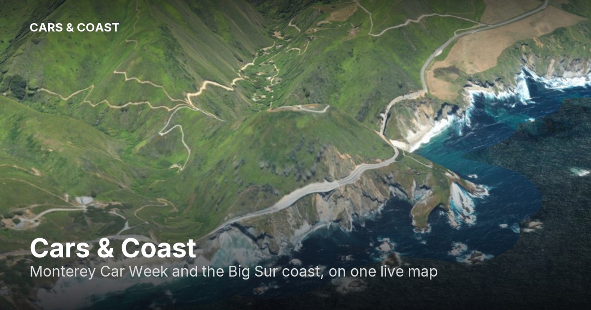
- 3D terrain flyovers of Laguna Seca's Corkscrew and the Big Sur coast.
- Independent and self-funded on the Monterey Peninsula. Not affiliated with any event organizer.
Assets & embeds
Screenshots and clips: use anything on the site, or grab the share card images — the coast in 3D. Live demos to link or capture: Corkscrew 3D · /live channel.
Want the webcam, map, schedule, or live channel ON your site? Copy-paste iframes: carsandcoast.com/embed — free with credit.
Data sources & credits
Every enforcement zone and closure on the map carries its own source link in its popup, so the data stays traceable and correctable. Standing sources we rely on and gratefully credit:
- BigSurKate — the indispensable authority on Highway 1 conditions and Big Sur road life; background for our Bixby and turnout guidance.
- Caltrans District 5 — closures, construction, chain controls, highway cameras.
- County of Monterey — the Bixby Bridge parking ordinance and public records.
- Monterey County Now and KSBW Action News 8 — enforcement reporting cited on the map.
- Flock Safety transparency portals — official per-city license-plate-reader counts.
- NOAA, NWS, USGS, Open-Meteo, OpenStreetMap contributors, MST, Santa Cruz METRO — live weather, marine, quake, map and transit data. Santa Cruz METRO bus data is used under CC BY 4.0. Live Amtrak positions via Amtraker.
See something out of date? The map is corrected same-day: support@carsandcoast.com.
Contact
Press & interviews: hello@carsandcoast.com
Corrections & data issues: support@carsandcoast.com